
Understanding EXIF Metadata in Photos: GPS, Camera Settings & More
GeoGPS Camera Team · · 7 min read
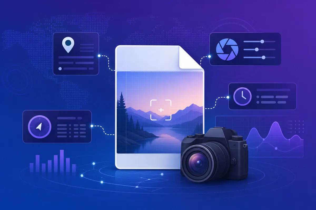
Every digital photo carries hidden information most people never see. This embedded data — called EXIF metadata — can reveal where a photo was taken, when it was captured, what camera was used, and much more. For professionals in construction, insurance, legal work, and field documentation, understanding EXIF data is essential.
What Is EXIF Data?
EXIF (Exchangeable Image File Format) is metadata automatically embedded in digital photos by cameras and smartphones. It travels with the image file and survives sharing — unless someone deliberately strips it.
When you take a photo, your device records technical details alongside the pixels. This includes:
- Date and time the photo was captured
- Camera make and model (e.g., iPhone 15, Canon EOS R5)
- Lens information and focal length
- Exposure settings — aperture, shutter speed, ISO
- Image dimensions and orientation
- GPS coordinates — latitude, longitude, and sometimes altitude
- Software used to process or edit the image
EXIF data is stored in JPEG, TIFF, and some RAW formats. PNG and WebP may contain limited metadata depending on how the file was created.
Why EXIF Metadata Matters
Proof of Location and Time
GPS coordinates in EXIF data can prove a photo was taken at a specific place and time. This is critical for:
- Insurance claim documentation
- Construction site progress reports
- Legal evidence and compliance audits
- Field survey and research submissions
Detecting Edited or Fake Photos
When someone edits a photo in certain apps, EXIF data may be stripped, altered, or replaced. Comparing metadata against claimed details helps spot inconsistencies — for example, a photo claimed to be from a job site but with GPS coordinates pointing elsewhere.
Professional Documentation Standards
Many industries now require photos with intact, verifiable metadata. EXIF inspection is a first step; tools like GeoGPS Camera go further by assigning a Verification ID that cannot be forged.
Key EXIF Fields Explained
GPS Information
The most valuable EXIF fields for location verification:
- GPS Latitude / Longitude — exact coordinates where the photo was taken
- GPS Altitude — height above sea level
- GPS Timestamp — when the GPS fix was recorded
- GPS Direction — compass bearing the camera was facing
Not all photos contain GPS data. Standard phone camera apps may omit location unless location permissions are enabled. Screenshots and social media downloads typically have no GPS EXIF.
Camera & Lens Data
- Make / Model — device that captured the image
- Focal Length — zoom level used
- FNumber (Aperture) — depth of field setting
- Exposure Time (Shutter Speed) — how long the sensor was exposed
- ISO Speed — sensor sensitivity / noise level
- Flash — whether flash fired
Date & Time
- DateTimeOriginal — when the shutter was pressed
- DateTimeDigitized — when the image was saved digitally
- OffsetTime — timezone offset for the timestamp
Discrepancies between these fields can indicate the photo was re-saved or edited after capture.
How to Check EXIF Data Online — Free Tool
GeoGPS Camera provides a free online EXIF viewer at geogpscamera.in. No account or app download is required to inspect metadata.
How to Use the EXIF Viewer
- Go to geogpscamera.in and scroll to Check Photo Metadata
- Upload any JPEG, PNG, or TIFF image (up to 50 MB)
- View detailed EXIF data including GPS coordinates, camera settings, and device info
- If GPS data is present, see the location on an interactive map
The tool works in any browser on desktop or mobile. Drag and drop is supported for quick uploads.
EXIF vs. GeoGPS Camera Verification
Reading EXIF data and verifying photo authenticity are related but different:
EXIF Viewer can:
- View metadata from any uploaded photo
- Check GPS coordinates and camera settings
- Show location on an interactive map
GeoGPS Camera Verification adds:
- Full tamper detection (SHA-256, ELA, checksum)
- Unique Verification ID for every photo
- Proof the photo is original and unedited
- Independent online validation record
EXIF data can be edited or stripped by third-party tools. GeoGPS Camera photos include a cryptographic Verification ID that links the image to an independent online record — making manipulation detectable even if EXIF is altered.
When Photos Have No GPS EXIF Data
If you upload a photo and see "No GPS Location Data," common reasons include:
- Photo was taken with location services disabled
- Image was screenshot, re-saved, or downloaded from social media
- Photo was edited in an app that strips metadata
- Camera app does not embed GPS by default
Solution: Capture photos using GeoGPS Camera, which always embeds GPS coordinates, address, map thumbnail, and a Verification ID directly on the image.
Tips for Preserving EXIF Metadata
- Avoid re-saving photos through messaging apps (WhatsApp, Telegram compress and strip metadata)
- Do not screenshot photos — take originals from the source device
- Disable "Remove location" options when sharing from your phone
- Use GeoGPS Camera for field documentation to guarantee GPS and verification data
- Export as stamped JPEG or PDF rather than re-compressing
EXIF in GeoGPS Camera App
The GeoGPS Camera mobile app includes a built-in EXIF metadata viewer for any photo in your library. Inspect GPS, camera settings, and device info on photos captured inside or outside the app.
Download free on iOS or Android.
Conclusion
EXIF metadata is the hidden fingerprint of every digital photo. Whether you need to confirm where a photo was taken, what device captured it, or whether metadata has been tampered with, understanding EXIF is the first step.
Use our free EXIF viewer at geogpscamera.in to inspect any photo instantly — and download GeoGPS Camera when you need GPS-stamped, verifiable documentation you can trust.
Try the free EXIF metadata viewer on our homepage, or download GeoGPS Camera to capture photos with built-in GPS stamps and Verification IDs.
Get GeoGPS Camera
Capture GPS-stamped photos with a Verification ID anyone can check.